
Aethair solutions
Hydrology, Level & Flow
Flood warning, stream gauging, and groundwater
Why it matters
Why Hydrology Networks Monitor Level and Flow
Knowing how much water is where, and how fast it is moving, underpins flood warning, water supply, environmental protection, and the management of rivers, reservoirs, and aquifers. Water level and flow change rapidly with rainfall and water withdrawals, and the consequential events (a flood peak, a reservoir drawdown, a dropping groundwater table) can develop within hours. Continuous gauging turns scattered manual readings into a live hydrological picture, giving flood forecasters the lead time to warn communities, water managers the data to balance supply and demand, and regulators the record to enforce abstraction and environmental-flow rules.
A monitoring network is also a long-term asset: the multi-year records from stream gauges and groundwater boreholes are what calibrate flood models and reveal trends in a changing climate.
What to measure
What to Measure
The core panel covers the main program. Other parameters are added for a specific site or requirement.
Water level (stage) is the foundational measurement, tracked at river gauges, reservoirs, and boreholes as the basis for everything from flood alerts to storage accounting. Level is usually converted into flow (discharge) through a rating relationship, which quantifies the actual volume of water passing a point, and velocity measurement supports that conversion where a rating is unreliable. Rainfall is the driver that precedes a rise, so a rain gauge alongside a level gauge gives the warning that a level increase is coming. In groundwater networks, level in a borehole tracks the water table and aquifer storage, while water temperature is a common companion to level in surface and subsurface monitoring alike.
Water level is the backbone measurement of hydrology, underpinning flood warning, stream gauging, reservoir operation, and groundwater management. Continuous level monitoring with pressure, ultrasonic, or radar sensors on a logger captures the rapid rises that matter for flood early warning. Combined with a rating curve, it converts into the flow that drives water-resource decisions.
Water Level / Depth: sensors, units, and every standardRainfall is the input that drives every hydrological response, so precipitation monitoring is essential context for flood warning, stream gauging, and catchment management. Continuous rain measurement alongside water level and flow lets hydrologists correlate rainfall with runoff, calibrate models, and provide the lead time that turns a level reading into a flood forecast.
Precipitation: sensors, units, and every standardBarometric / atmospheric pressure.
Barometric Pressure: sensors, units, and every standardFlow, the volume of water moving past a point per unit time, quantifies rivers, channels, and discharges for water-resource management, flood modeling, and compliance. Continuous flow monitoring, from level via a rating curve or by direct area-velocity measurement, provides the discharge record that level alone cannot, and ties rainfall to runoff.
Flow Rate: sensors, units, and every standardFlow velocity.
Velocity: sensors, units, and every standardInstantaneous precipitation (rain) rate.
Precipitation Intensity: sensors, units, and every standardWater turbidity (light scattering by suspended particles).
Turbidity: sensors, units, and every standardWater temperature.
Water Temperature: sensors, units, and every standardTotalized volume.
Volume (totalized): sensors, units, and every standard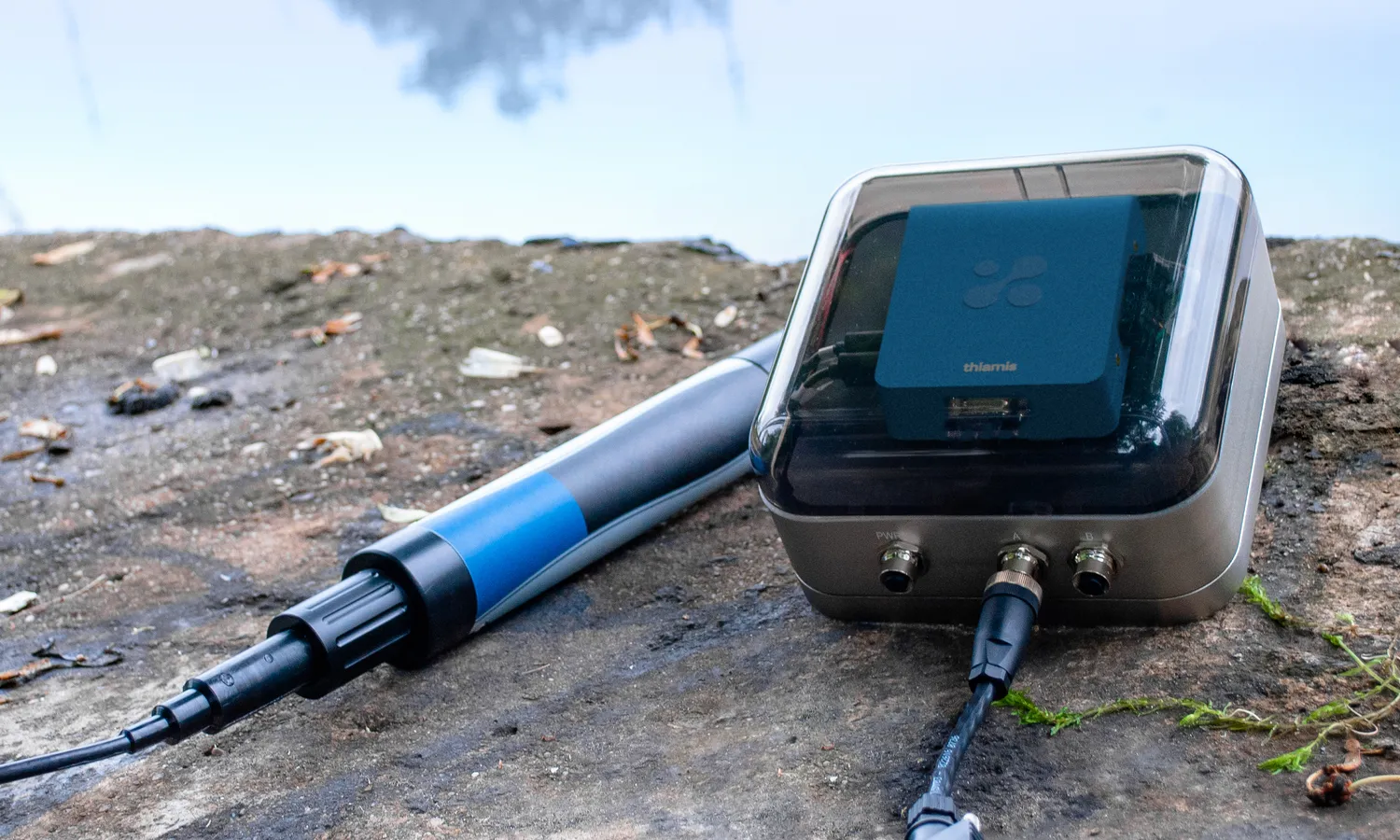
The setup
How a Monitoring Setup Works
Hydrological monitoring uses a Thiamis gateway connected to the appropriate field sensors: a level sensor (pressure transducer, radar, or ultrasonic) for stage, a flow or velocity sensor where discharge is measured directly, and a rain sensor, such as a tipping-bucket gauge. The recommended configuration below uses an In-Situ Level TROLL pressure logger with a BaroTROLL for the barometric compensation a non-vented transducer needs, and the acoustic rain sensor of the Airmar 150WXRS. The logger records continuously and telemeters data back for dashboards, rating conversion, and flood alerting, which matters most at remote gauging sites where a rising level must trigger a warning without anyone present. Thiamis reports over 4G LTE with cellular data included and runs on a solar panel or an external battery where there is no grid power. Placement follows hydrological practice: a stable cross-section for a stream gauge, a representative borehole for groundwater, an inlet or outlet for a reservoir. The recommended configuration below builds a level-and-rainfall gauging station. Use the configurator to add flow, velocity, or other parameters for your network.
Recommended
best match-

Thiamis connects 2 instruments
A gateway that connects the third-party instruments you choose to the Aethair Platform.
-
 Barometric PressureWater Level / DepthWater Pressure
In-Situ TROLL instruments: submersible (IP68) water-level and multiparameter loggers.
Swap for
-
 Precipitation
Airmar WeatherStation instruments (compact, maintenance-free ultrasonic multisensors with no moving parts) measure…
Swap for
Also measures 10 more
Water TemperatureAbsolute HumidityDew PointHeat IndexRelative HumidityPrecipitation IntensityAir TemperatureWind ChillWind DirectionWind Speed -
Which monitor
The Instruments in This Configuration
A Thiamis gateway logs these instruments continuously and sends their readings to Environet over 4G LTE (cellular data included) or the site's Wi-Fi. There they get the same alerts, reports, dashboards, and API as any Aethair monitor, in one account with every other device on the site, instead of a separate vendor app for each instrument. Thiamis runs on mains power, a solar panel, or an external battery.
In-Situ Water Quality Sondes
In-Situ TROLL instruments: submersible (IP68) water-level and multiparameter loggers.
Airmar Weather Stations
Airmar WeatherStation instruments (compact, maintenance-free ultrasonic multisensors with no moving parts) measure apparent wind, barometric pressure, air temperature, and wind chill in one housing.
What you get
Readings, Alerts, and the Report That Proves It
Every reading goes to the Aethair platform. Here is what a monitoring program gets from it.
Live data and alerts
Every reading in Environet as it happens, with alerts by email, SMS, or webhook at the thresholds you set.
Compliance reports
Scheduled or on-demand reports against the standards above or your own limits, as PDF or a secure link.
Dashboards and AI analysis
Live displays for a site or the public, and Noesis answering questions about the data in plain language.
Your data, through the API
Live and historical readings as JSON or CSV through the Environet API (OpenAPI 3.2), for a building management system, an ERP, or your own applications. The data is yours.
Related solutions
Related Solutions
Water Quality Monitoring
Rivers, lakes, drinking water, and stormwater
Agriculture & Irrigation
Soil moisture, microclimate, and frost warning
Aquaculture & Fish Farming
Dissolved oxygen, temperature, and ammonia control
Questions
Hydrology, Level & Flow FAQ
What is the difference between water level and flow?
Water level, or stage, is the height of the water surface at a point, while flow, or discharge, is the volume of water passing that point per unit time. Flow is usually derived from level through a site-specific rating relationship, which is why level is the primary continuous measurement even when flow is the number ultimately wanted.
Why measure rainfall alongside water level?
Rainfall is the driver that precedes a rise in rivers and groundwater, so a rain gauge at a monitoring site gives advance notice that a level increase is on the way. Pairing the two supports flood forecasting and helps relate a catchment's response to the rain that caused it.
How does level monitoring support flood warning?
A level sensor logging continuously with telemetry can trigger an alert the moment stage crosses a warning threshold, at remote sites where no one is present to watch the river. That automatic, real-time warning is what gives downstream communities and responders the lead time to act.
What is the best setup for hydrological monitoring?
A Thiamis gateway with a level sensor and a tipping-bucket rain gauge for a core gauging station, adding flow or velocity where discharge is measured directly and a borehole level sensor for groundwater. Use the configurator to assemble the station for your stream, reservoir, or aquifer network.
Put Your Monitoring on the Record
Schedule a callBuild a Configuration All solutions
A 30-minute call: you tell us about your application, then we demo the solution for it.